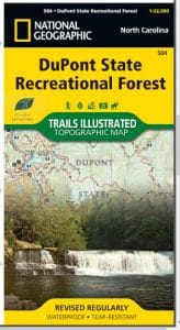
Most driving directions lead to the High Falls Access Area. Directions and information on all access areas are listed below. Traffic can cause long delays on weekends and holidays.

Most driving directions lead to the High Falls Access Area. Directions and information on all access areas are listed below. Traffic can cause long delays on weekends and holidays.
